University of Evansville students build AI and robot tools to map sidewalk access for Evansville planners
University of Evansville students are using a GPS-equipped robot called “Gizmo” plus AI-powered computer vision to scan sidewalks and create a sidewalk-quality map starting in Evansville’s Promise Neighborhood. A companion Walk Audit app lets residents report problems; submitted data will help train the project’s models.
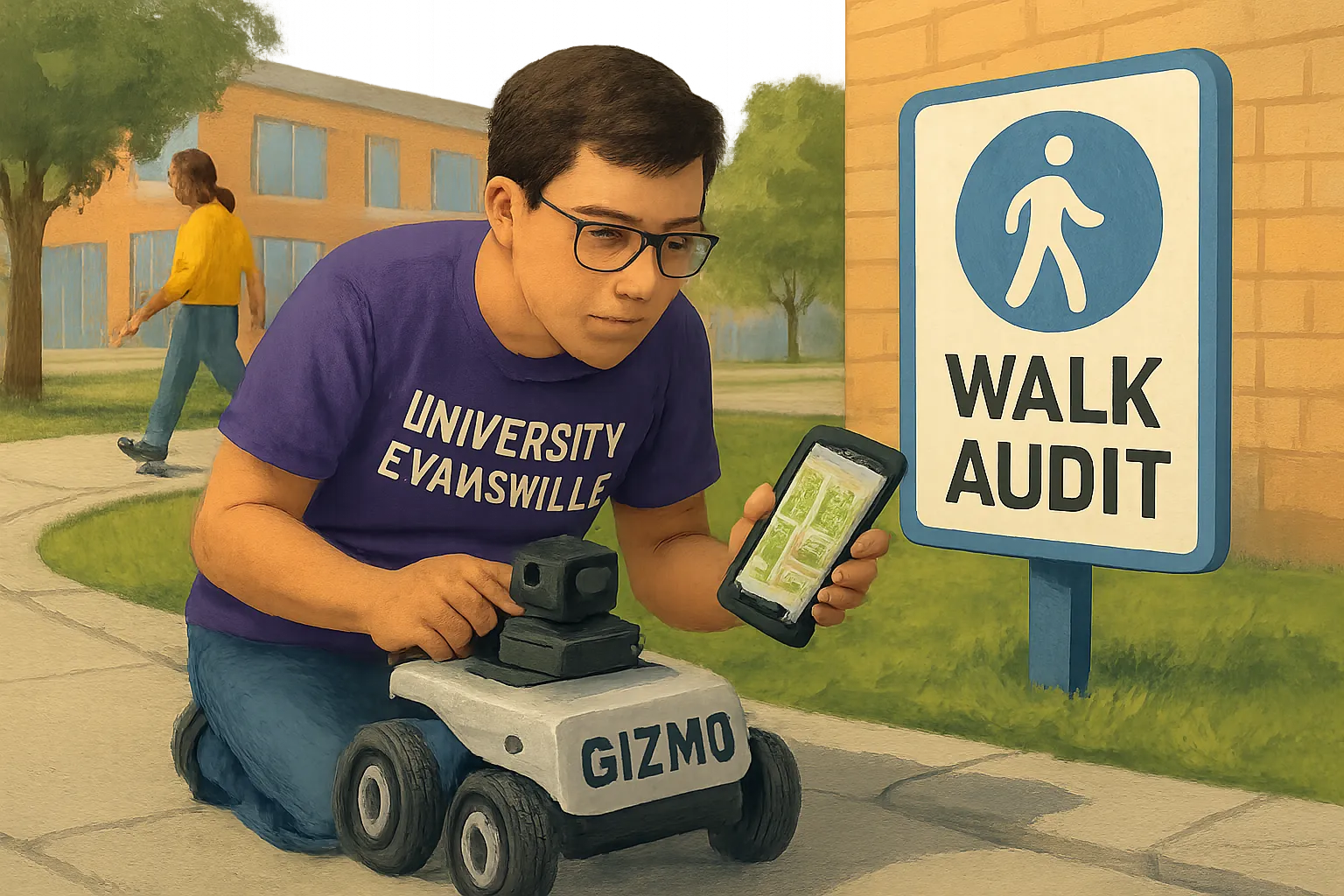
Students and faculty at the University of Evansville are running a project called Sidewalks4All that employs a student-built, GPS-equipped robot named “Gizmo” to scan sidewalks and identify features such as curb ramps, crosswalks, obstacles and surface conditions. The team is using artificial intelligence and computer vision to convert the scans into a sidewalk-quality map, beginning in the city’s Promise Neighborhood.
The effort includes a mobile Walk Audit application so residents can report cracks, missing crosswalks and other problems; data submitted by residents will be used to train the project’s AI models. The interdisciplinary team involves students and faculty from computer science, civil and electrical engineering — including professors Maxwell Omwenga, Ying Ying Seah, Jesus Osorio and Hector Will — and has received input from the University of Evansville, the Evansville city engineer, the Evansville Metropolitan Planning Organization, the Evansville Trails Coalition and Circular Venture Lab.
BusinessIndy examines this development and its implications for Indiana businesses and communities using the linked sources.
Related coverage
- Indiana wins IBI Ag’s North American HQ, bringing farm-focused biotech management and trials to state
- National 8.2% health-cost surge projected for 2027 has potential implications for Indiana employers
- SK hynix breaks ground on $4B Purdue Research Park AI-memory plant; project slated to support about 1,000 jobs